Legacy Mine Maps in Mayfield Newcastle NSW are not available for public review and there is no online register of old abandoned mines listed on the NSW government website. Direction by government agents will address you to visit the below website;
https://www.nsw.gov.au/subsidence-advisory/districts
https://www.planningportal.nsw.gov.au/spatialviewer/#/find-a-property/address
But the above will only give you information whether the property has been previously mined, or a mine district. Key information about the mine including the mine depth, span of the mine, year it was last mined, and the number of mine subsidence events in the area are not reported. Below is the current mine subsidence map for the Newcastle zone;
Newcastle Mine Subsidence Map NSW
Further information from the NSW government website shows;
The NSW Resources Regulator within the Department of Planning, Industry and Environment is the official holder of Mine Survey Plans in NSW.
Under clause 127(3) of the Work Health and Safety (Mines and Petroleum Sites) Regulation 2014, the Resources Regulator can only make a copy of a survey plan to a person in certain circumstances.
To find out more or make an application for copies of survey plans, please visit the NSW Resources Regulator website. Generally, these records are not available to the public.
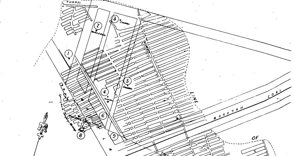
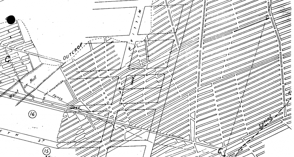
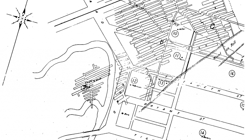
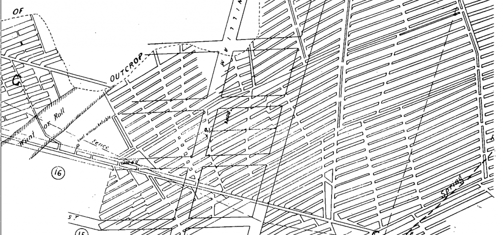
Below are legacy mine maps that affect my properties in Mayfield, Tighes Hill and Carrington areas.


