“Subsidence Advisory NSW is the NSW Government agency responsible for supporting property owners living in areas where subsidence from underground coal mining may occur.”
Since our last posts 12 months ago, new information has emerged that Subsidence Authority NSW has purposely withheld information from us.
Just the facts;
- In 1886, a network of mine workings were interconnected, flooded and abandoned in our region. This land was then sold to the public, with services built over the abandoned mine network.
- Over 15 years ago, water and subsidence damage started occurring in our property, later spreading to other properties.
- Subsidence Advisory informed us that there are no mines underneath our property. Government agencies are using this information.
- Our subsidence and mine water flooding has been allocated as a Legacy Mines problem. Over these years, various agencies believe water from stormwater and Hunter Water assets are finding their way into our properties.
- During a Legacy Mines Report in 2020 (commissioned by the NSW Deputy Premier), via Freedom of Information documents, we found that Subsidence Authority withheld mine map information resulting in the consultants to use 1886 mine map data and not the most recent geo-referenced mine maps.
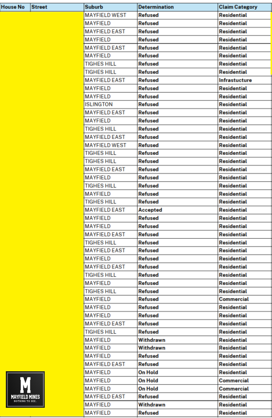
- In March 2023, we requested Subsidence Authority to meet with us as there is conflicting information. After being delayed for months, we were told we needed to lodge new mine subsidence claims. These were lodged in June 2023.
- Due to ongoing lack of support from Subsidence Authority, in May 2023 we applied for mine maps beneath our property via the NSW Resource Regulator. In August 2024, we received these maps which show multiple abandoned mine workings beneath our buildings. We understand that Subsidence Authority delayed the release of these maps.
- In order to receive these geo-referenced mine maps, we needed to sign a non disclosure agreement that last for 50 years. Therefore we cannot show you the full extent of the evidence.
- These current geo-reference street mine maps show a network of abandoned mines that are interconnected, from Mounter Street to under our buildings. The maps show direct correlation between subsidence and mine water flooding in our buildings and neighbouring streets.
- Since the lodgement of the June 2023 subsidence claims – Subsidence Authority has avoided sharing information, visiting the sites, or meeting with us.
Is the NSW government through its agencies, taking all steps possible to hide the truth and bankrupt us?
